
Alpinequest gps hiking (lite) app for android description: Alpinequest lite is the free solution for all outdoor activities and sports including hiking running trailing hunting sailing geocaching off road navigation and much more.
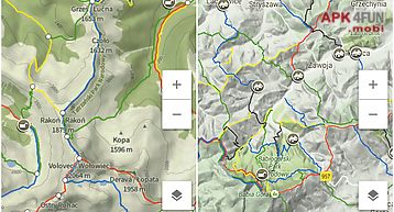
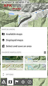
You can access and store locally a large range of on line topographic maps which will remain available even while being out of cell coverage.
Alpinequest also supports on board file based maps like memorymap(c) maps.
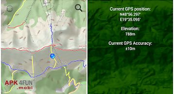
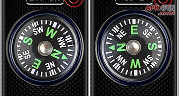
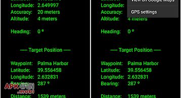
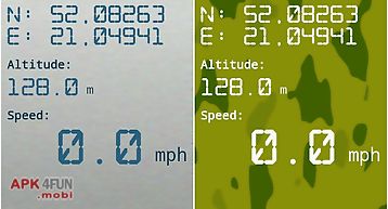
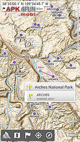
By using the gps and the magnetic sensor of your device (with compass display) getting lost is part of the past: you are localized in real time on the map which can also be oriented to match where you are looking at.
By staying fully operational out of cell coverage (as often in mountain or abroad) alpinequest assists you in all your desires of deep wilderness exploring...
Don 39 t hesitate use it right now for free!
Please report suggestions and issues on our dedicated forum forum (no registration needed all questions answered) and not in comments.
Key features (for the full paid version) are: maps built in online maps (with automatic local storage road topo and satellite maps included) built in online layers (road names and hills shading) get more online maps and layers in one click from the included community map list (nokia maps yahoo!
Maps local topo maps...
) Complete area storage of online maps for off line use on board offline maps support (visit our website to get the free map creator mobac) memory map support (quickchart.
Qct maps only.
Qc3 maps not compatible test your maps using the free lite version first) multiple maps in layers display with per map opacity control advanced sd memory card map explorer and scanner.
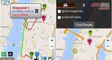
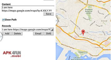
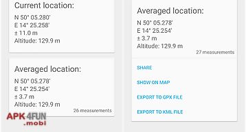
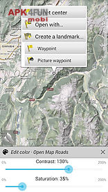
Landmarks create display save restore unlimited number of waypoints routes areas and tracks import export gpx files google earth kml kmz files csv tsv files support oziexplorer wpt and geocaching loc waypoints save and share online location