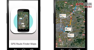
Driving route finder app for android description: 39 driving route finder 39 helps you to find the driving route between any two locations around the world.
Just tap on the map to add start and end locations.
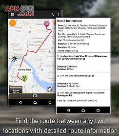
The driving route between those two locations will be found and shown on the map.
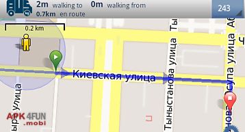
You can view the route information in text format also.
In addition to the route you can view your traveling speed and travel distance.
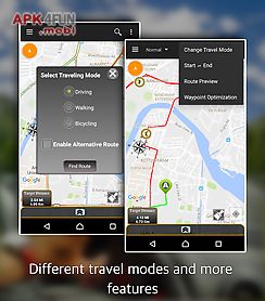
You may select any travel mode(driving walking or bicycling).
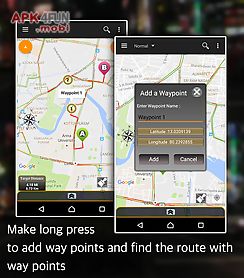
You can add way points by making long press on the map.
It is very simple to use and would help you lot in your travel.
Features: usability: very simple and easy to use.
Within just two taps you can find the route.
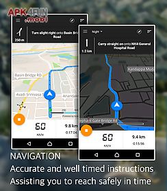
Driving route: shows very accurate driving route between the locations you set.
It helps you to reach the destination in time.
Travel modes: shows the route for driving mode walking mode and bicycling mode.
Gps location: this app gives you very accurate gps location.
Speed and distance: it gives very accurate driving speed and distance.
Instructions: it is very simple to use.
Touch at any location on the screen to get route.
The driving route: once you have touch start and end location the driving route will be shown on the map after few seconds.
The route instructions will be shown in the text format also.
You can make it view or hide that instructions view by touching 39 view details 39 or 39 hide details 39.
In that view the driving route instructions will be shown step by step.
By touching that steps individually that particular part of the route will be highlighted on the map.
This will help you reach the target easily.
Travel modes: you can choose either driving or walking or bicycling mode for showing route.
Once you have touch the start and end locations you will be prompted to select driving or walking or bicycling mode.
Current location: you can make the map centered at current location by touching circle butt